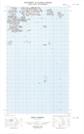
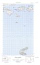
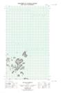
Maps showing Marks Island, Newfoundland and Labrador
Marks Island is a Island located in Newfoundland and Labrador and has an elevation of 12 meters.
- Latitude: 54° 29' 28'' North (decimal: 54.4912254)
- Longitude: 57° 13' 21'' West (decimal: -57.2224359)
- Topography Feature Category: Island
- Geographical Feature: Island
- Canadian Province/Territory: Newfoundland and Labrador
- Elevation: 12 meters
- Atlas of Canada Locator Map: Marks Island
- GPS Coordinate Locator Map: Marks Island Lat/Long
Marks Island NTS Map Sheets