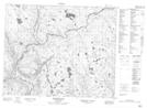
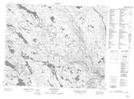
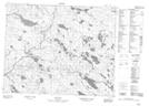
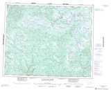
Maps showing Matse River, Newfoundland and Labrador
Matse River is a River located in Newfoundland and Labrador and has an elevation of 291 meters.
- Latitude: 52° 2' 49'' North (decimal: 52.0469444)
- Longitude: 59° 26' 50'' West (decimal: -59.4472222)
- Topography Feature Category: River
- Geographical Feature: River
- Canadian Province/Territory: Newfoundland and Labrador
- Elevation: 291 meters
- Atlas of Canada Locator Map: Matse River
- GPS Coordinate Locator Map: Matse River Lat/Long
Matse River NTS Map Sheets