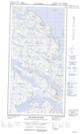
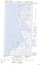
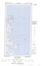
Maps showing McLelan Strait, Newfoundland and Labrador
McLelan Strait is a Channel located in Newfoundland and Labrador and has an elevation of 27 meters.
- Latitude: 60° 20' 17'' North (decimal: 60.3381935)
- Longitude: 64° 35' 48'' West (decimal: -64.5967985)
- Topography Feature Category: Channel
- Geographical Feature: Strait
- Canadian Province/Territory: Newfoundland and Labrador
- Elevation: 27 meters
- Atlas of Canada Locator Map: McLelan Strait
- GPS Coordinate Locator Map: McLelan Strait Lat/Long
McLelan Strait NTS Map Sheets