Maps showing McPhadyen River, Newfoundland and Labrador
McPhadyen River is a River located in Newfoundland and Labrador and has an elevation of 513 meters.
- Latitude: 54° 5' 43'' North (decimal: 54.0953640)
- Longitude: 66° 30' 2'' West (decimal: -66.5006666)
- Topography Feature Category: River
- Geographical Feature: River
- Canadian Province/Territory: Newfoundland and Labrador
- Elevation: 513 meters
- Atlas of Canada Locator Map: McPhadyen River
- GPS Coordinate Locator Map: McPhadyen River Lat/Long
McPhadyen River NTS Map Sheets
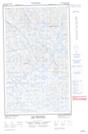
023G13E Lac Descayrac Topographic Map at 1:50,000 scale
023G13W Lac Descayrac Topographic Map at 1:50,000 scale
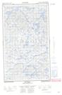
023G14E Lac Prat Topographic Map at 1:50,000 scale
023G14W Lac Prat Topographic Map at 1:50,000 scale
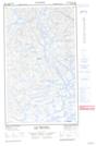
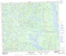
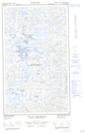
023J02 Mcphadyen River Topographic Map at 1:50,000 scale
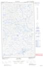
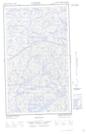
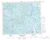
023J03E No Title Topographic Map at 1:50,000 scale
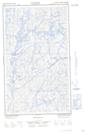
023J03W No Title Topographic Map at 1:50,000 scale
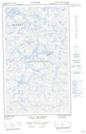
023J04E Lac La Milleraye Topographic Map at 1:50,000 scale
023J04W Lac La Milleraye Topographic Map at 1:50,000 scale
023G Shabogamo Lake Topographic Map at 1:250,000 scale
023J Schefferville Topographic Map at 1:250,000 scale