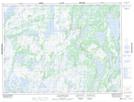
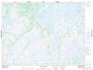
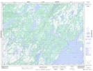
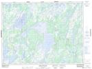
Maps showing Meelpaeg Lake, Newfoundland and Labrador
Meelpaeg Lake is a Lake located in Newfoundland and Labrador and has an elevation of 258 meters.
- Latitude: 48° 14' 23'' North (decimal: 48.2396452)
- Longitude: 56° 36' 44'' West (decimal: -56.6120886)
- Topography Feature Category: Lake
- Geographical Feature: Lake
- Canadian Province/Territory: Newfoundland and Labrador
- Elevation: 258 meters
- Atlas of Canada Locator Map: Meelpaeg Lake
- GPS Coordinate Locator Map: Meelpaeg Lake Lat/Long
Meelpaeg Lake NTS Map Sheets