Canada Topographic Maps

Metchin River Topo Maps

Topography maps and Latitude/Longitude Location

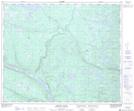
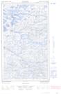
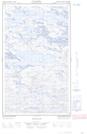
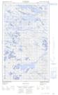
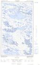
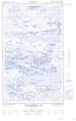
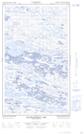
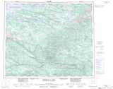
Maps showing Metchin River, Newfoundland and Labrador

Metchin River is a River located in Newfoundland and Labrador and has an elevation of 112 meters.

  • Latitude: 53° 18' 41'' North   (decimal: 53.3113888)
  • Longitude: 63° 22' 7'' West   (decimal: -63.3686111)
  • Topography Feature Category: River
  • Geographical Feature: River
  • Canadian Province/Territory: Newfoundland and Labrador
  • Elevation: 112 meters
  • Atlas of Canada Locator Map: Metchin River
  • GPS Coordinate Locator Map: Metchin River Lat/Long

Metchin River NTS Map Sheets

013E06 Metchin River Topographic Map at 1:50,000 scale

013E10E No Title Topographic Map at 1:50,000 scale

013E10W No Title Topographic Map at 1:50,000 scale

013E11E No Title Topographic Map at 1:50,000 scale

013E11W No Title Topographic Map at 1:50,000 scale

013E15E Disappointment Lake Topographic Map at 1:50,000 scale

013E15W Disappointment Lake Topographic Map at 1:50,000 scale

013E Winokapau Lake Topographic Map at 1:250,000 scale

 
Buy Topographic Maps DVD
Newsletter Sign-up

Yes, I want to receive map store discounts.


Bookmark and Share