Canada Topographic Maps

Minipi River Topo Maps

Topography maps and Latitude/Longitude Location

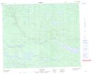
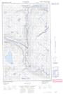
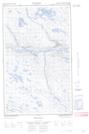
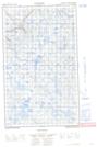
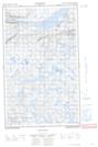
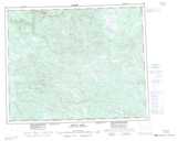
Maps showing Minipi River, Newfoundland and Labrador

Minipi River is a River located in Newfoundland and Labrador and has an elevation of 261 meters.

  • Latitude: 52° 51' 30'' North   (decimal: 52.8583333)
  • Longitude: 61° 37' 17'' West   (decimal: -61.6213888)
  • Topography Feature Category: River
  • Geographical Feature: River
  • Canadian Province/Territory: Newfoundland and Labrador
  • Elevation: 261 meters
  • Atlas of Canada Locator Map: Minipi River
  • GPS Coordinate Locator Map: Minipi River Lat/Long

Minipi River NTS Map Sheets

013C11 No Title Topographic Map at 1:50,000 scale

013C13E No Title Topographic Map at 1:50,000 scale

013C13W No Title Topographic Map at 1:50,000 scale

013C14E No Title Topographic Map at 1:50,000 scale

013C14W No Title Topographic Map at 1:50,000 scale

013C Minipi Lake Topographic Map at 1:250,000 scale

 
Buy Topographic Maps DVD
Newsletter Sign-up

Yes, I want to receive map store discounts.


Bookmark and Share