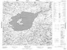
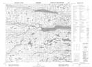
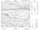
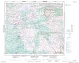
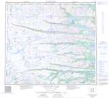
Maps showing Mistastin River, Torngat Mountains, Newfoundland and Labrador
Mistastin River is a River located in Torngat Mountains, Newfoundland and Labrador and has an elevation of 215 meters.
- Latitude: 56° 9' 5'' North (decimal: 56.1513888)
- Longitude: 62° 49' 27'' West (decimal: -62.8241666)
- Topography Feature Category: River
- Geographical Feature: River
- Canadian Province/Territory: Newfoundland and Labrador
- Elevation: 215 meters
- Location: Torngat Mountains
- Atlas of Canada Locator Map: Mistastin River
- GPS Coordinate Locator Map: Mistastin River Lat/Long
Mistastin River NTS Map Sheets