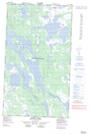
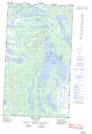
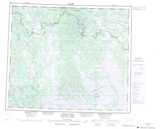
Maps showing Montgomery Lake, Newfoundland and Labrador
Montgomery Lake is a Lake located in Newfoundland and Labrador and has an elevation of 481 meters.
- Latitude: 54° 42' 39'' North (decimal: 54.7108055)
- Longitude: 65° 47' 31'' West (decimal: -65.7920792)
- Topography Feature Category: Lake
- Geographical Feature: Lake
- Canadian Province/Territory: Newfoundland and Labrador
- Elevation: 481 meters
- Atlas of Canada Locator Map: Montgomery Lake
- GPS Coordinate Locator Map: Montgomery Lake Lat/Long
Montgomery Lake NTS Map Sheets