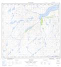
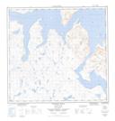
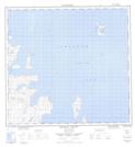
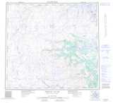
Maps showing Napaktok (Black Duck) Bay, Newfoundland and Labrador
Napaktok (Black Duck) Bay is a Bay located in Newfoundland and Labrador and has an elevation of 0 meters.
- Latitude: 57° 59' 7'' North (decimal: 57.9852659)
- Longitude: 62° 31' 0'' West (decimal: -62.5167529)
- Topography Feature Category: Bay
- Geographical Feature: Bay
- Canadian Province/Territory: Newfoundland and Labrador
- Elevation: 0 meters
- Atlas of Canada Locator Map: Napaktok (Black Duck) Bay
- GPS Coordinate Locator Map: Napaktok (Black Duck) Bay Lat/Long
Napaktok (Black Duck) Bay NTS Map Sheets