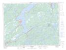
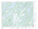
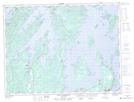
Maps showing New Bay River, Newfoundland and Labrador
New Bay River is a River located in Newfoundland and Labrador and has an elevation of 47 meters.
- Latitude: 49° 19' 19'' North (decimal: 49.3219444)
- Longitude: 55° 23' 55'' West (decimal: -55.3986111)
- Topography Feature Category: River
- Geographical Feature: River
- Canadian Province/Territory: Newfoundland and Labrador
- Elevation: 47 meters
- Atlas of Canada Locator Map: New Bay River
- GPS Coordinate Locator Map: New Bay River Lat/Long
New Bay River NTS Map Sheets