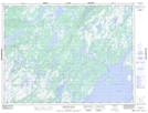
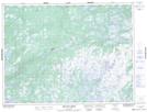
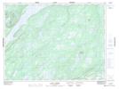
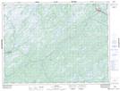
Maps showing Noel Paul's Brook, Newfoundland and Labrador
Noel Paul's Brook is a River located in Newfoundland and Labrador and has an elevation of 288 meters.
- Latitude: 48° 49' 13'' North (decimal: 48.8202777)
- Longitude: 56° 18' 34'' West (decimal: -56.3094444)
- Topography Feature Category: River
- Geographical Feature: Brook
- Canadian Province/Territory: Newfoundland and Labrador
- Elevation: 288 meters
- Atlas of Canada Locator Map: Noel Paul's Brook
- GPS Coordinate Locator Map: Noel Paul's Brook Lat/Long
Noel Paul's Brook NTS Map Sheets