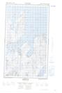
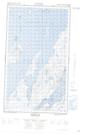
Maps showing North Point, Newfoundland and Labrador
North Point is a Cape located in Newfoundland and Labrador and has an elevation of 8 meters.
- Latitude: 55° 6' 22'' North (decimal: 55.1060254)
- Longitude: 59° 12' 9'' West (decimal: -59.2025292)
- Topography Feature Category: Cape
- Geographical Feature: Point
- Canadian Province/Territory: Newfoundland and Labrador
- Elevation: 8 meters
- Atlas of Canada Locator Map: North Point
- GPS Coordinate Locator Map: North Point Lat/Long
North Point NTS Map Sheets