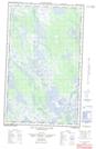
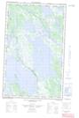
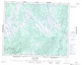
Maps showing Lac Pas d'Eau, Newfoundland and Labrador
Lac Pas d'Eau is a Lake located in Newfoundland and Labrador and has an elevation of 523 meters.
- Latitude: 52° 33' 0'' North (decimal: 52.5500000)
- Longitude: 65° 34' 58'' West (decimal: -65.5827777)
- Topography Feature Category: Lake
- Geographical Feature: Lac
- Canadian Province/Territory: Newfoundland and Labrador
- Elevation: 523 meters
- Atlas of Canada Locator Map: Lac Pas d'Eau
- GPS Coordinate Locator Map: Lac Pas d'Eau Lat/Long
Lac Pas d'Eau NTS Map Sheets