Maps showing Placentia Bay, Newfoundland and Labrador
Placentia Bay is a Bay located in Newfoundland and Labrador and has an elevation of 0 meters.
- Latitude: 47° 15' 3'' North (decimal: 47.2508333)
- Longitude: 54° 15' 32'' West (decimal: -54.2588888)
- Topography Feature Category: Bay
- Geographical Feature: Bay
- Canadian Province/Territory: Newfoundland and Labrador
- Elevation: 0 meters
- Atlas of Canada Locator Map: Placentia Bay
- GPS Coordinate Locator Map: Placentia Bay Lat/Long
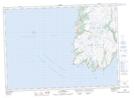
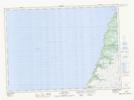
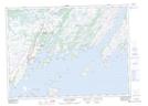
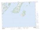
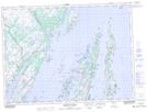
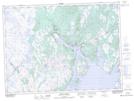
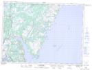
Placentia Bay NTS Map Sheets
001L14 St Lawrence Topographic Map at 1:50,000 scale
001L16 St Bride's Topographic Map at 1:50,000 scale
001M01 Ship Cove Topographic Map at 1:50,000 scale
001M02 Jude Island Topographic Map at 1:50,000 scale
001M03 Marystown Topographic Map at 1:50,000 scale
001M07 Baine Harbour Topographic Map at 1:50,000 scale
001M08 Merasheen Topographic Map at 1:50,000 scale
001M09 Harbour Buffett Topographic Map at 1:50,000 scale
001M16 Sound Island Topographic Map at 1:50,000 scale
001N05 Argentia Topographic Map at 1:50,000 scale
001N12 Dildo Topographic Map at 1:50,000 scale
001N13 Sunnyside Topographic Map at 1:50,000 scale
001L St Lawrence Topographic Map at 1:250,000 scale
001M Belleoram Topographic Map at 1:250,000 scale
001N St John's Topographic Map at 1:250,000 scale