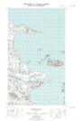
Maps showing Quebecer Shoal, Newfoundland and Labrador
Quebecer Shoal is a Shoal located in Newfoundland and Labrador.
- Latitude: 53° 47' 16'' North (decimal: 53.7876698)
- Longitude: 57° 3' 18'' West (decimal: -57.0550843)
- Topography Feature Category: Shoal
- Geographical Feature: Shoal
- Canadian Province/Territory: Newfoundland and Labrador
- Atlas of Canada Locator Map: Quebecer Shoal
- GPS Coordinate Locator Map: Quebecer Shoal Lat/Long
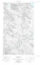
Quebecer Shoal NTS Map Sheets