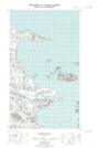
Maps showing Table Hill Cove, Newfoundland and Labrador
Table Hill Cove is a Bay located in Newfoundland and Labrador.
- Latitude: 53° 47' 00'' North (decimal: 53.7833333)
- Longitude: 57° 8' 56'' West (decimal: -57.1488888)
- Topography Feature Category: Bay
- Geographical Feature: Cove
- Canadian Province/Territory: Newfoundland and Labrador
- GPS Coordinate Locator Map: Table Hill Cove Lat/Long
Table Hill Cove NTS Map Sheets