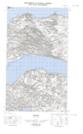
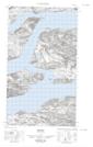
Maps showing Rigolet Point, Newfoundland and Labrador
Rigolet Point is a Cape located in Newfoundland and Labrador.
- Latitude: 54° 10' 46'' North (decimal: 54.1795530)
- Longitude: 58° 25' 40'' West (decimal: -58.4277122)
- Topography Feature Category: Cape
- Geographical Feature: Point
- Canadian Province/Territory: Newfoundland and Labrador
- Atlas of Canada Locator Map: Rigolet Point
- GPS Coordinate Locator Map: Rigolet Point Lat/Long
Rigolet Point NTS Map Sheets