Canada Topographic Maps

Trinity Bay Topo Maps

Topography maps and Latitude/Longitude Location

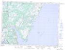
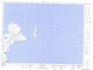
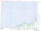
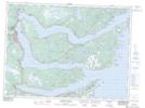
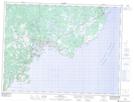
Maps showing Trinity Bay, Newfoundland and Labrador

Trinity Bay is a Bay located in Newfoundland and Labrador and has an elevation of 0 meters.

  • Latitude: 48° 0' 0'' North   (decimal: 48.0000000)
  • Longitude: 53° 29' 57'' West   (decimal: -53.4991666)
  • Topography Feature Category: Bay
  • Geographical Feature: Bay
  • Canadian Province/Territory: Newfoundland and Labrador
  • Elevation: 0 meters
  • Atlas of Canada Locator Map: Trinity Bay
  • GPS Coordinate Locator Map: Trinity Bay Lat/Long

Trinity Bay NTS Map Sheets

001N12 Dildo Topographic Map at 1:50,000 scale

001N13 Sunnyside Topographic Map at 1:50,000 scale

001N14 Heart's Content Topographic Map at 1:50,000 scale

002C02 Bay De Verde Topographic Map at 1:50,000 scale

002C03 Old Perlican Topographic Map at 1:50,000 scale

002C04 Random Island Topographic Map at 1:50,000 scale

002C06 Trinity Topographic Map at 1:50,000 scale

001N St John's Topographic Map at 1:250,000 scale

002C Bonavista Topographic Map at 1:250,000 scale

 
Buy Topographic Maps DVD
Newsletter Sign-up

Yes, I want to receive map store discounts.


Bookmark and Share