Canada Topographic Maps

Tunnissugjuak Inlet Topo Maps

Topography maps and Latitude/Longitude Location

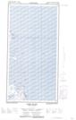
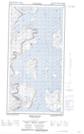
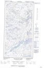
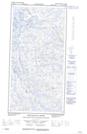
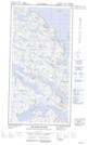
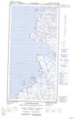
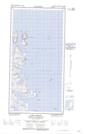
Maps showing Tunnissugjuak Inlet, Newfoundland and Labrador

Tunnissugjuak Inlet is a Bay located in Newfoundland and Labrador and has an elevation of 13 meters.

  • Latitude: 60° 17' 0'' North   (decimal: 60.2834380)
  • Longitude: 64° 36' 14'' West   (decimal: -64.6039479)
  • Topography Feature Category: Bay
  • Geographical Feature: Inlet
  • Canadian Province/Territory: Newfoundland and Labrador
  • Elevation: 13 meters
  • Atlas of Canada Locator Map: Tunnissugjuak Inlet
  • GPS Coordinate Locator Map: Tunnissugjuak Inlet Lat/Long

Tunnissugjuak Inlet NTS Map Sheets

025A01E Home Island Topographic Map at 1:50,000 scale

025A01W Home Island Topographic Map at 1:50,000 scale

025A02E Ikkudliayuk Fiord Topographic Map at 1:50,000 scale

025A02W Ikkudliayuk Fiord Topographic Map at 1:50,000 scale

025A07E Killiniq Island Topographic Map at 1:50,000 scale

025A07W Killiniq Island Topographic Map at 1:50,000 scale

025A08W Cape Chidley Topographic Map at 1:50,000 scale

025A Grenfell Sound Topographic Map at 1:250,000 scale

 
Buy Topographic Maps DVD
Newsletter Sign-up

Yes, I want to receive map store discounts.


Bookmark and Share