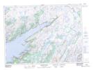
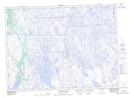
Maps showing Grand Le Pierre, Newfoundland and Labrador
Grand Le Pierre is a Town located in Newfoundland and Labrador and has an elevation of 28 meters.
- Latitude: 47° 46' 24'' North (decimal: 47.7732861)
- Longitude: 54° 48' 20'' West (decimal: -54.8056083)
- Topography Feature Category: Town
- Geographical Feature: Town
- Canadian Province/Territory: Newfoundland and Labrador
- Elevation: 28 meters
- Atlas of Canada Locator Map: Grand Le Pierre
- GPS Coordinate Locator Map: Grand Le Pierre Lat/Long
Grand Le Pierre NTS Map Sheets