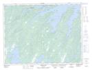
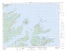
Maps showing Rushy Pond, Newfoundland and Labrador
Rushy Pond is a Lake located in Newfoundland and Labrador.
- Latitude: 49° 30' North (decimal: 49.5003061)
- Longitude: 54° 52' West (decimal: -54.8699546)
- Topography Feature Category: Lake
- Geographical Feature: Pond
- Canadian Province/Territory: Newfoundland and Labrador
- Atlas of Canada Locator Map: Rushy Pond
- GPS Coordinate Locator Map: Rushy Pond Lat/Long
Rushy Pond NTS Map Sheets