Canada Topographic Maps

St. George's Bay Topo Maps

Topography maps and Latitude/Longitude Location

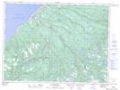
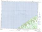
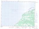
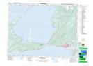
Maps showing St. George's Bay, Newfoundland and Labrador

St. George's Bay is a Bay located in Newfoundland and Labrador and has an elevation of 0 meters.

  • Latitude: 48° 24' 0'' North   (decimal: 48.4000000)
  • Longitude: 58° 52' 57'' West   (decimal: -58.8824999)
  • Topography Feature Category: Bay
  • Geographical Feature: Bay
  • Canadian Province/Territory: Newfoundland and Labrador
  • Elevation: 0 meters
  • Atlas of Canada Locator Map: St. George's Bay
  • GPS Coordinate Locator Map: St. George's Bay Lat/Long

St. George's Bay NTS Map Sheets

012B02 St Fintan's Topographic Map at 1:50,000 scale

012B03 Little Friars Cove Topographic Map at 1:50,000 scale

012B06 Cape St George Topographic Map at 1:50,000 scale

012B07 Flat Bay Topographic Map at 1:50,000 scale

012B08 Main Gut Topographic Map at 1:50,000 scale

012B10 Stephenville Topographic Map at 1:50,000 scale

012B11 Mainland Topographic Map at 1:50,000 scale

012B Stephenville Topographic Map at 1:250,000 scale

 
Buy Topographic Maps DVD
Newsletter Sign-up

Yes, I want to receive map store discounts.


Bookmark and Share