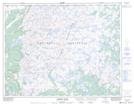
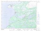
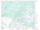
Maps showing Highlands of St. John, Newfoundland and Labrador
Highlands of St. John is a Mountain located in Newfoundland and Labrador and has an elevation of 342 meters.
- Latitude: 50° 43' 33'' North (decimal: 50.7258333)
- Longitude: 57° 3' 45'' West (decimal: -57.0625000)
- Topography Feature Category: Mountain
- Geographical Feature: Highlands
- Canadian Province/Territory: Newfoundland and Labrador
- Elevation: 342 meters
- Atlas of Canada Locator Map: Highlands of St. John
- GPS Coordinate Locator Map: Highlands of St. John Lat/Long
Highlands of St. John NTS Map Sheets