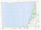
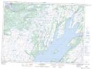
Maps showing Little Barachois River, Newfoundland and Labrador
Little Barachois River is a River located in Newfoundland and Labrador.
- Latitude: 47° 10' 55'' North (decimal: 47.1819444)
- Longitude: 54° 2' 37'' West (decimal: -54.0436111)
- Topography Feature Category: River
- Geographical Feature: River
- Canadian Province/Territory: Newfoundland and Labrador
- GPS Coordinate Locator Map: Little Barachois River Lat/Long
Little Barachois River NTS Map Sheets