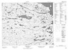
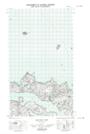
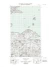
Maps showing Stoney Arm, Newfoundland and Labrador
Stoney Arm is a Bay located in Newfoundland and Labrador and has an elevation of 4 meters.
- Latitude: 53° 32' 41'' North (decimal: 53.5446888)
- Longitude: 56° 9' 41'' West (decimal: -56.1614824)
- Topography Feature Category: Bay
- Geographical Feature: Arm
- Canadian Province/Territory: Newfoundland and Labrador
- Elevation: 4 meters
- Atlas of Canada Locator Map: Stoney Arm
- GPS Coordinate Locator Map: Stoney Arm Lat/Long
Stoney Arm NTS Map Sheets