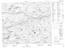
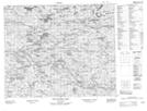
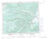
Maps showing Riley River, Naskaupi, Newfoundland and Labrador
Riley River is a River located in Naskaupi, Newfoundland and Labrador.
- Latitude: 53° 39' 15'' North (decimal: 53.6541666)
- Longitude: 61° 13' 24'' West (decimal: -61.2233333)
- Topography Feature Category: River
- Geographical Feature: River
- Canadian Province/Territory: Newfoundland and Labrador
- Location: Naskaupi
- Atlas of Canada Locator Map: Riley River
- GPS Coordinate Locator Map: Riley River Lat/Long
Riley River NTS Map Sheets