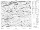
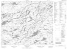
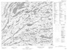
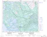
Maps showing Ten Mile Lake, Naskaupi, Newfoundland and Labrador
Ten Mile Lake is a Lake located in Naskaupi, Newfoundland and Labrador.
- Latitude: 54° 12' 25'' North (decimal: 54.2069240)
- Longitude: 62° 26' 00'' West (decimal: -62.4331979)
- Topography Feature Category: Lake
- Geographical Feature: Lake
- Canadian Province/Territory: Newfoundland and Labrador
- Location: Naskaupi
- Atlas of Canada Locator Map: Ten Mile Lake
- GPS Coordinate Locator Map: Ten Mile Lake Lat/Long
Ten Mile Lake NTS Map Sheets