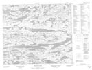
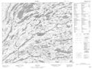
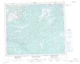
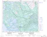
Maps showing Upper Seal Lake, Naskaupi, Newfoundland and Labrador
Upper Seal Lake is a Lake located in Naskaupi, Newfoundland and Labrador.
- Latitude: 54° 19' 00'' North (decimal: 54.3166666)
- Longitude: 61° 58' 57'' West (decimal: -61.9825000)
- Topography Feature Category: Lake
- Geographical Feature: Lake
- Canadian Province/Territory: Newfoundland and Labrador
- Location: Naskaupi
- Atlas of Canada Locator Map: Upper Seal Lake
- GPS Coordinate Locator Map: Upper Seal Lake Lat/Long
Upper Seal Lake NTS Map Sheets