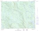
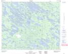
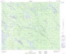
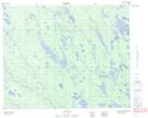
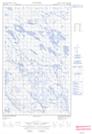
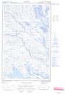
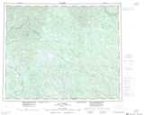
Maps showing Natashquan River, Naskaupi, Newfoundland and Labrador
Natashquan River is a River located in Naskaupi, Newfoundland and Labrador and has an elevation of 203 meters.
- Latitude: 51° 60' 00'' North (decimal: 51.9999999)
- Longitude: 62° 8' 57'' West (decimal: -62.1491666)
- Topography Feature Category: River
- Geographical Feature: River
- Canadian Province/Territory: Newfoundland and Labrador
- Elevation: 203 meters
- Location: Naskaupi
- Atlas of Canada Locator Map: Natashquan River
- GPS Coordinate Locator Map: Natashquan River Lat/Long
Natashquan River NTS Map Sheets