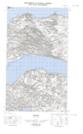
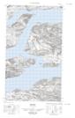
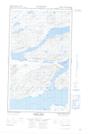
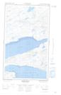
Maps showing Cul-de-Sac, Torngat Mountains, Newfoundland and Labrador
Cul-de-Sac is a Channel located in Torngat Mountains, Newfoundland and Labrador and has an elevation of 8 meters.
- Latitude: 54° 5' 13'' North (decimal: 54.0869934)
- Longitude: 58° 33' 9'' West (decimal: -58.5525253)
- Topography Feature Category: Channel
- Geographical Feature: Channel
- Canadian Province/Territory: Newfoundland and Labrador
- Elevation: 8 meters
- Location: Torngat Mountains
- Atlas of Canada Locator Map: Cul-de-Sac
- GPS Coordinate Locator Map: Cul-de-Sac Lat/Long
Cul-de-Sac NTS Map Sheets