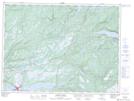
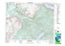
Maps showing Blue Hill, Newfoundland and Labrador
Blue Hill is a Mountain located in Newfoundland and Labrador and has an elevation of 402 meters.
- Latitude: 48° 45' 2'' North (decimal: 48.7506321)
- Longitude: 58° 27' 31'' West (decimal: -58.4587130)
- Topography Feature Category: Mountain
- Geographical Feature: Hill
- Canadian Province/Territory: Newfoundland and Labrador
- Elevation: 402 meters
- Atlas of Canada Locator Map: Blue Hill
- GPS Coordinate Locator Map: Blue Hill Lat/Long
Blue Hill NTS Map Sheets