Maps showing Kaipokok Bay, Newfoundland and Labrador
Kaipokok Bay is a Bay located in Newfoundland and Labrador and has an elevation of 0 meters.
- Latitude: 54° 60' 00'' North (decimal: 54.9999999)
- Longitude: 59° 34' 57'' West (decimal: -59.5825000)
- Topography Feature Category: Bay
- Geographical Feature: Bay
- Canadian Province/Territory: Newfoundland and Labrador
- Elevation: 0 meters
- Atlas of Canada Locator Map: Kaipokok Bay
- GPS Coordinate Locator Map: Kaipokok Bay Lat/Long
Kaipokok Bay NTS Map Sheets
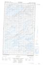
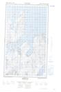
013J12E No Title Topographic Map at 1:50,000 scale
013J12W No Title Topographic Map at 1:50,000 scale
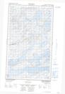
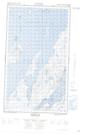
013J13E Post Hill Topographic Map at 1:50,000 scale
013J13W Post Hill Topographic Map at 1:50,000 scale
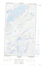
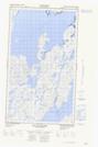
013O03E Makkovik Topographic Map at 1:50,000 scale
013O03W Makkovik Topographic Map at 1:50,000 scale
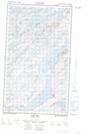
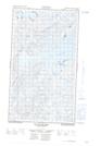
013O04E Bay Of Islands Topographic Map at 1:50,000 scale
013O04W Bay Of Islands Topographic Map at 1:50,000 scale
013J Rigolet Topographic Map at 1:250,000 scale
013O Makkovik Topographic Map at 1:250,000 scale