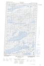
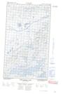
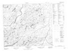
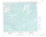
Maps showing Browns Brook, Torngat Mountains, Newfoundland and Labrador
Browns Brook is a River located in Torngat Mountains, Newfoundland and Labrador and has an elevation of 88 meters.
- Latitude: 54° 41' 40'' North (decimal: 54.6944444)
- Longitude: 60° 20' 27'' West (decimal: -60.3408333)
- Topography Feature Category: River
- Geographical Feature: Brook
- Canadian Province/Territory: Newfoundland and Labrador
- Elevation: 88 meters
- Location: Torngat Mountains
- Atlas of Canada Locator Map: Browns Brook
- GPS Coordinate Locator Map: Browns Brook Lat/Long
Browns Brook NTS Map Sheets