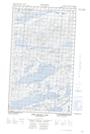
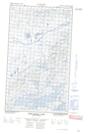
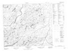
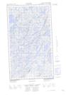
Maps showing Kaipokok River, Torngat Mountains, Newfoundland and Labrador
Kaipokok River is a River located in Torngat Mountains, Newfoundland and Labrador and has an elevation of 19 meters.
- Latitude: 54° 45' 00'' North (decimal: 54.7499999)
- Longitude: 60° 3' 57'' West (decimal: -60.0658333)
- Topography Feature Category: River
- Geographical Feature: River
- Canadian Province/Territory: Newfoundland and Labrador
- Elevation: 19 meters
- Location: Torngat Mountains
- Atlas of Canada Locator Map: Kaipokok River
- GPS Coordinate Locator Map: Kaipokok River Lat/Long
Kaipokok River NTS Map Sheets