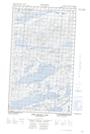
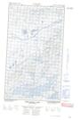
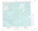
Maps showing South Brook, Torngat Mountains, Newfoundland and Labrador
South Brook is a River located in Torngat Mountains, Newfoundland and Labrador.
- Latitude: 54° 42' 50'' North (decimal: 54.7138888)
- Longitude: 60° 12' 47'' West (decimal: -60.2130555)
- Topography Feature Category: River
- Geographical Feature: Brook
- Canadian Province/Territory: Newfoundland and Labrador
- Location: Torngat Mountains
- Atlas of Canada Locator Map: South Brook
- GPS Coordinate Locator Map: South Brook Lat/Long
South Brook NTS Map Sheets