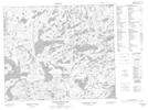
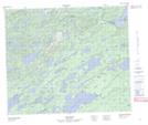
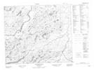
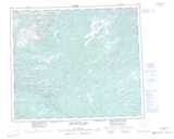
Maps showing Warrens Lake, Torngat Mountains, Newfoundland and Labrador
Warrens Lake is a Lake located in Torngat Mountains, Newfoundland and Labrador and has an elevation of 150 meters.
- Latitude: 54° 30' 19'' North (decimal: 54.5053916)
- Longitude: 60° 56' 31'' West (decimal: -60.9420472)
- Topography Feature Category: Lake
- Geographical Feature: Lake
- Canadian Province/Territory: Newfoundland and Labrador
- Elevation: 150 meters
- Location: Torngat Mountains
- Atlas of Canada Locator Map: Warrens Lake
- GPS Coordinate Locator Map: Warrens Lake Lat/Long
Warrens Lake NTS Map Sheets