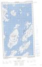
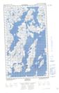
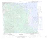
Maps showing Outer Black Head, Newfoundland and Labrador
Outer Black Head is a Cape located in Newfoundland and Labrador.
- Latitude: 53° 30' North (decimal: 53.4999999)
- Longitude: 60° 14' West (decimal: -60.2333000)
- Topography Feature Category: Cape
- Geographical Feature: Head
- Canadian Province/Territory: Newfoundland and Labrador
- Atlas of Canada Locator Map: Outer Black Head
- GPS Coordinate Locator Map: Outer Black Head Lat/Long
Outer Black Head NTS Map Sheets