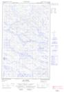
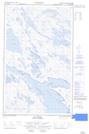
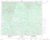
Maps showing Pommerel Lake, Newfoundland and Labrador
Pommerel Lake is a Lake located in Newfoundland and Labrador and has an elevation of 517 meters.
- Latitude: 52° 20' 00'' North (decimal: 52.3333333)
- Longitude: 63° 38' 57'' West (decimal: -63.6491666)
- Topography Feature Category: Lake
- Geographical Feature: Lake
- Canadian Province/Territory: Newfoundland and Labrador
- Elevation: 517 meters
- Atlas of Canada Locator Map: Pommerel Lake
- GPS Coordinate Locator Map: Pommerel Lake Lat/Long
Pommerel Lake NTS Map Sheets