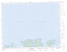
Maps showing Sprunes Bank, Newfoundland and Labrador
Sprunes Bank is a Shoal located in Newfoundland and Labrador.
- Latitude: 49° 31' 36'' North (decimal: 49.5265883)
- Longitude: 55° 27' 37'' West (decimal: -55.4603002)
- Topography Feature Category: Shoal
- Geographical Feature: Bank
- Canadian Province/Territory: Newfoundland and Labrador
- Atlas of Canada Locator Map: Sprunes Bank
- GPS Coordinate Locator Map: Sprunes Bank Lat/Long