Maps showing Little Mecatina River, Naskaupi, Newfoundland and Labrador
Little Mecatina River is a River located in Naskaupi, Newfoundland and Labrador and has an elevation of 299 meters.
- Latitude: 52° 1' 4'' North (decimal: 52.0177777)
- Longitude: 60° 17' 12'' West (decimal: -60.2866666)
- Topography Feature Category: River
- Geographical Feature: River
- Canadian Province/Territory: Newfoundland and Labrador
- Elevation: 299 meters
- Location: Naskaupi
- Atlas of Canada Locator Map: Little Mecatina River
- GPS Coordinate Locator Map: Little Mecatina River Lat/Long
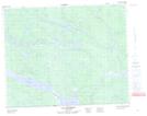
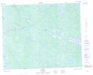
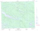
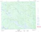
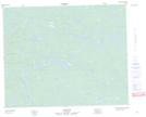
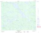
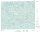
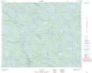
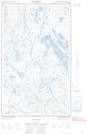
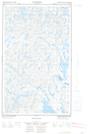
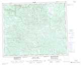
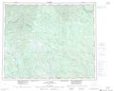
Little Mecatina River NTS Map Sheets
013C01 Lac Fourmont Topographic Map at 1:50,000 scale
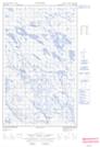
013C02 No Title Topographic Map at 1:50,000 scale
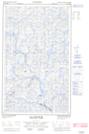
013C03 Lac Guines Topographic Map at 1:50,000 scale
013C05 Lac Arvert Topographic Map at 1:50,000 scale
013C06 No Title Topographic Map at 1:50,000 scale
013C12 Dominion Lake Topographic Map at 1:50,000 scale
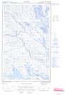
013D09 No Title Topographic Map at 1:50,000 scale
013D10 No Title Topographic Map at 1:50,000 scale
013D11E No Title Topographic Map at 1:50,000 scale
013D11W No Title Topographic Map at 1:50,000 scale
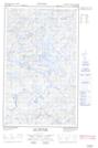
013D13E Lac Ghyvelde Topographic Map at 1:50,000 scale
013D13W Lac Ghyvelde Topographic Map at 1:50,000 scale
013D14E No Title Topographic Map at 1:50,000 scale
013D14W No Title Topographic Map at 1:50,000 scale
013C Minipi Lake Topographic Map at 1:250,000 scale
013D Lac Brule Topographic Map at 1:250,000 scale