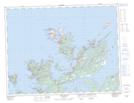
Maps showing Bread-box, Newfoundland and Labrador
Bread-box is a Shoal located in Newfoundland and Labrador.
- Latitude: 49° 42' 00'' North (decimal: 49.6999577)
- Longitude: 54° 42' 57'' West (decimal: -54.7157431)
- Topography Feature Category: Shoal
- Geographical Feature: Ledge
- Canadian Province/Territory: Newfoundland and Labrador
- Atlas of Canada Locator Map: Bread-box
- GPS Coordinate Locator Map: Bread-box Lat/Long
Bread-box NTS Map Sheets