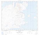
Maps showing Jerusalem Bay, Newfoundland and Labrador
Jerusalem Bay is a Bay located in Newfoundland and Labrador.
- Latitude: 58° 15' 00'' North (decimal: 58.2499999)
- Longitude: 62° 46' 57'' West (decimal: -62.7824999)
- Topography Feature Category: Bay
- Geographical Feature: Bay
- Canadian Province/Territory: Newfoundland and Labrador
- GPS Coordinate Locator Map: Jerusalem Bay Lat/Long
Jerusalem Bay NTS Map Sheets