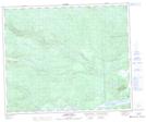
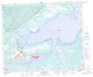
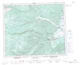
Maps showing Otter Creek, Newfoundland and Labrador
Otter Creek is a River located in Newfoundland and Labrador and has an elevation of 123 meters.
- Latitude: 53° 21' 25'' North (decimal: 53.3569444)
- Longitude: 60° 24' 54'' West (decimal: -60.4150000)
- Topography Feature Category: River
- Geographical Feature: Creek
- Canadian Province/Territory: Newfoundland and Labrador
- Elevation: 123 meters
- Atlas of Canada Locator Map: Otter Creek
- GPS Coordinate Locator Map: Otter Creek Lat/Long
Otter Creek NTS Map Sheets