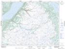
Maps showing Sixty-second Brook, Newfoundland and Labrador
Sixty-second Brook is a River located in Newfoundland and Labrador.
- Latitude: 48° 59' 00'' North (decimal: 48.9833333)
- Longitude: 57° 24' 57'' West (decimal: -57.4158333)
- Topography Feature Category: River
- Geographical Feature: Brook
- Canadian Province/Territory: Newfoundland and Labrador
- GPS Coordinate Locator Map: Sixty-second Brook Lat/Long
Sixty-second Brook NTS Map Sheets