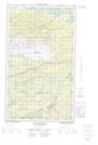
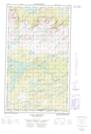
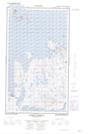
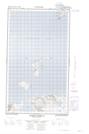
Maps showing Tukialik Bay, Newfoundland and Labrador
Tukialik Bay is a Bay located in Newfoundland and Labrador.
- Latitude: 54° 45' 00'' North (decimal: 54.7499999)
- Longitude: 58° 24' 57'' West (decimal: -58.4158333)
- Topography Feature Category: Bay
- Geographical Feature: Bay
- Canadian Province/Territory: Newfoundland and Labrador
- GPS Coordinate Locator Map: Tukialik Bay Lat/Long
Tukialik Bay NTS Map Sheets
013J09E Lake Michael Topographic Map at 1:50,000 scale
013J09W Lake Michael Topographic Map at 1:50,000 scale
013J16E Webeck Harbour Topographic Map at 1:50,000 scale
013J16W Webeck Harbour Topographic Map at 1:50,000 scale
013J Rigolet Topographic Map at 1:250,000 scale
013J09W Lake Michael Topographic Map at 1:50,000 scale
013J16E Webeck Harbour Topographic Map at 1:50,000 scale
013J16W Webeck Harbour Topographic Map at 1:50,000 scale
013J Rigolet Topographic Map at 1:250,000 scale