Maps showing Red Wine River, Newfoundland and Labrador
Red Wine River is a River located in Newfoundland and Labrador and has an elevation of 60 meters.
- Latitude: 53° 55' 30'' North (decimal: 53.9249999)
- Longitude: 60° 59' 40'' West (decimal: -60.9944444)
- Topography Feature Category: River
- Geographical Feature: River
- Canadian Province/Territory: Newfoundland and Labrador
- Elevation: 60 meters
- Atlas of Canada Locator Map: Red Wine River
- GPS Coordinate Locator Map: Red Wine River Lat/Long
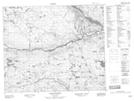
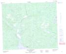
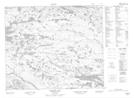
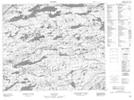
Red Wine River NTS Map Sheets
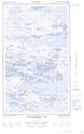
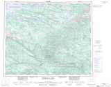
013E15E Disappointment Lake Topographic Map at 1:50,000 scale
013E15W Disappointment Lake Topographic Map at 1:50,000 scale
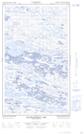
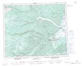
013E16E Hope Lake Topographic Map at 1:50,000 scale
013E16W Hope Lake Topographic Map at 1:50,000 scale
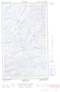
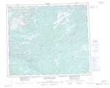
013F13 No Title Topographic Map at 1:50,000 scale
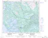
013F14 Mount Sawyer Topographic Map at 1:50,000 scale
013F15 Mount Elizabeth Topographic Map at 1:50,000 scale
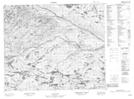
013K04 Dorothy Lake Topographic Map at 1:50,000 scale
013L01 No Title Topographic Map at 1:50,000 scale
013E Winokapau Lake Topographic Map at 1:250,000 scale
013F Goose Bay Topographic Map at 1:250,000 scale
013K Snegamook Lake Topographic Map at 1:250,000 scale
013L Red Wine Lake Topographic Map at 1:250,000 scale