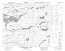
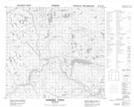
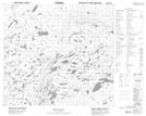
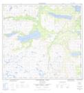
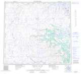
Maps showing Sikkoyavik Brook, Newfoundland and Labrador
Sikkoyavik Brook is a River located in Newfoundland and Labrador and has an elevation of 410 meters.
- Latitude: 57° 24' 57'' North (decimal: 57.4158333)
- Longitude: 62° 32' 4'' West (decimal: -62.5344444)
- Topography Feature Category: River
- Geographical Feature: Brook
- Canadian Province/Territory: Newfoundland and Labrador
- Elevation: 410 meters
- Atlas of Canada Locator Map: Sikkoyavik Brook
- GPS Coordinate Locator Map: Sikkoyavik Brook Lat/Long
Sikkoyavik Brook NTS Map Sheets