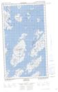
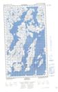
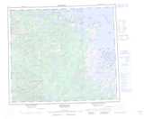
Maps showing The Black Heads, Newfoundland and Labrador
The Black Heads is a Mountain located in Newfoundland and Labrador.
- Latitude: 55° 29' 00'' North (decimal: 55.4833333)
- Longitude: 60° 13' 57'' West (decimal: -60.2325000)
- Topography Feature Category: Mountain
- Geographical Feature: Hills
- Canadian Province/Territory: Newfoundland and Labrador
- Atlas of Canada Locator Map: The Black Heads
- GPS Coordinate Locator Map: The Black Heads Lat/Long
The Black Heads NTS Map Sheets