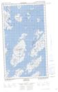
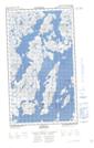
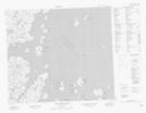
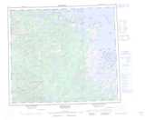
Maps showing Uvingajok (Leaning) Island, Newfoundland and Labrador
Uvingajok (Leaning) Island is a Island located in Newfoundland and Labrador and has an elevation of 13 meters.
- Latitude: 55° 29' 58'' North (decimal: 55.4994937)
- Longitude: 60° 1' 57'' West (decimal: -60.0323727)
- Topography Feature Category: Island
- Geographical Feature: Island
- Canadian Province/Territory: Newfoundland and Labrador
- Elevation: 13 meters
- Atlas of Canada Locator Map: Uvingajok (Leaning) Island
- GPS Coordinate Locator Map: Uvingajok (Leaning) Island Lat/Long
Uvingajok (Leaning) Island NTS Map Sheets